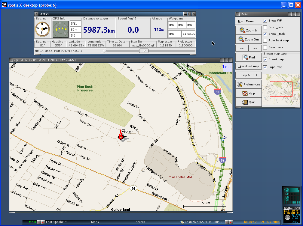
GpsDrive is a navigation system design for Linux. This application displays your position provided from your NMEA capable GPS receiver on a zoomable map, the map file is autoselected depending of the position and prefered scale.
A screen shot of the user interface for the GpsDrive application is presented in Figure 11.2, “GpsDrive Navigation Application”. This application is included with NST version 1.2.0 and above. Notice in the Status window that GPS information for the current location is being displayed. This data is derived from a gpsd server.
A GPS receiver can be used with Kismet and the GpsDrive application to generate various graphical maps depicting 802.11 wireless network topologies. Documentation on how to do this can be found in the section called “Kismet”.
